CHRISTOPHE HARBOUR DEVELOPMENT
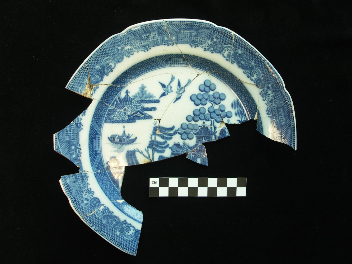
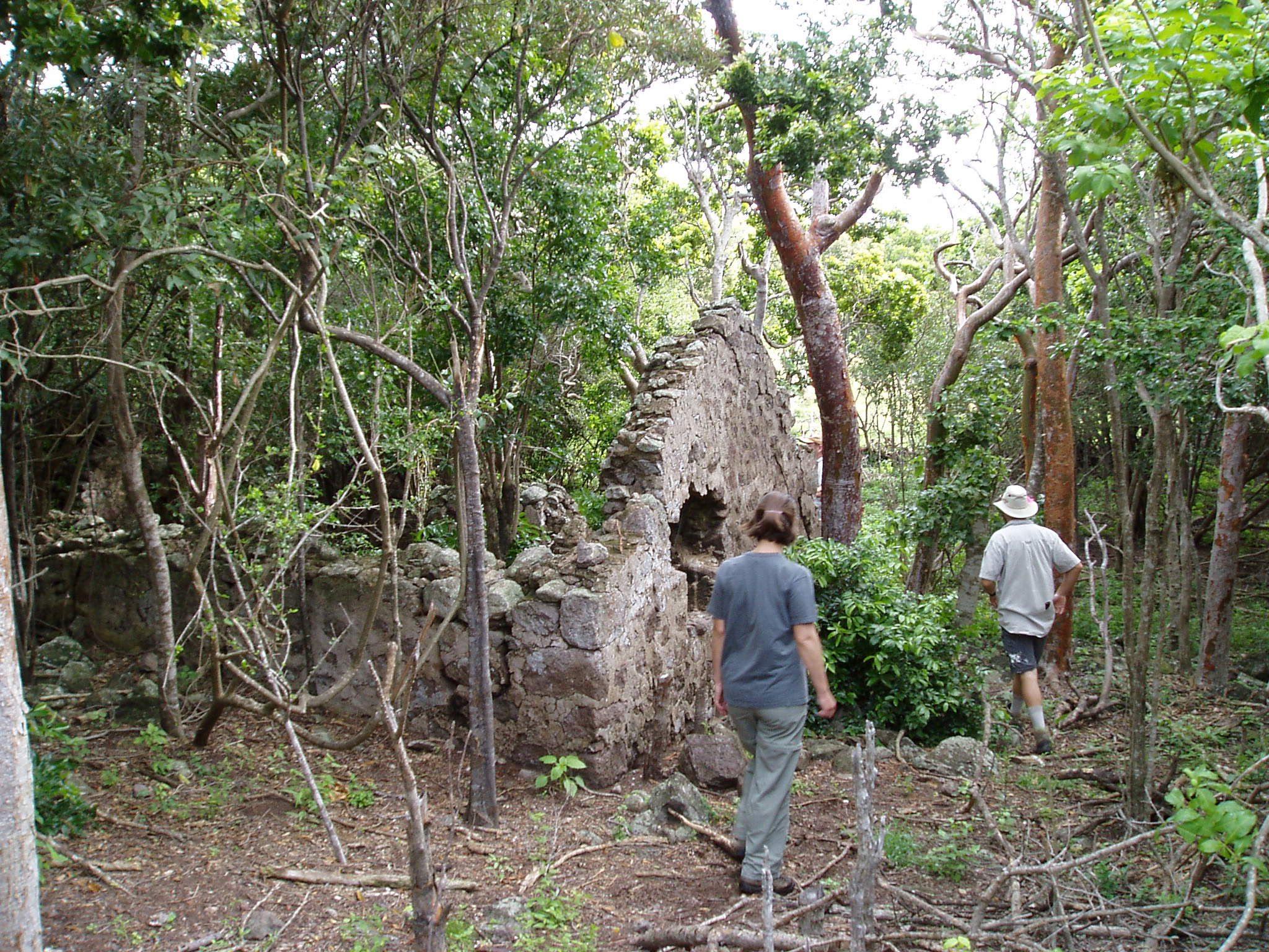
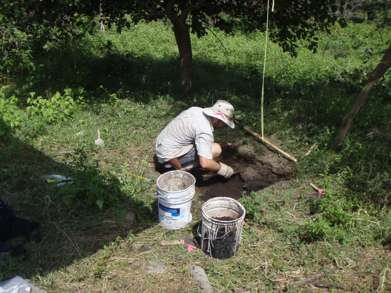
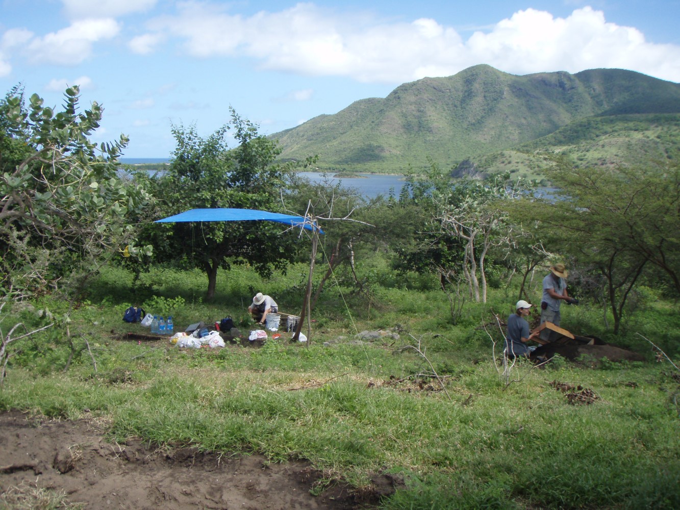
HRA conducted archaeological survey and testing services for the 2,600-acre Christophe Harbour development on the Caribbean island of St. Kitts. To facilitate the archaeological investigations, HRA georeferenced six historic-period maps of St. Kitts dating from 1718 to 1920 using ESRI ArcGIS. HRA used the georeferenced maps to document the properties, as well as understand the changing landscape of the study area. HRA was able to identify a consolidation in sugar cane estates over time from around ten in the early eighteenth century to only two by 1828. In addition, through these maps, HRA identified villages where enslaved people lived on three of the sites.


