AIRSS
HRA’s Aerial Imagery and Remote Sensing Services (AIRSS) specialists conduct aerial imaging, mapping, and geophysical surveys coupled with Geographic Information System (GIS) services to document and interpret complex data and produce high-quality, professional products. In particular, we embrace emerging technologies to better understand archaeological and historic resources using noninvasive techniques. Our services include:
Ground-Penetrating Radar (GPR)
GPR can be used to detect buried archaeological features, image buried structural remains, identify unmarked graves, assess stratigraphy, and create buried archaeological potential models.
Magnetometry
Magnetic gradiometer surveys can identify important archaeological features, especially precontact archaeological features, in addition to providing important geological and sedimentary information to aid archaeological investigations.
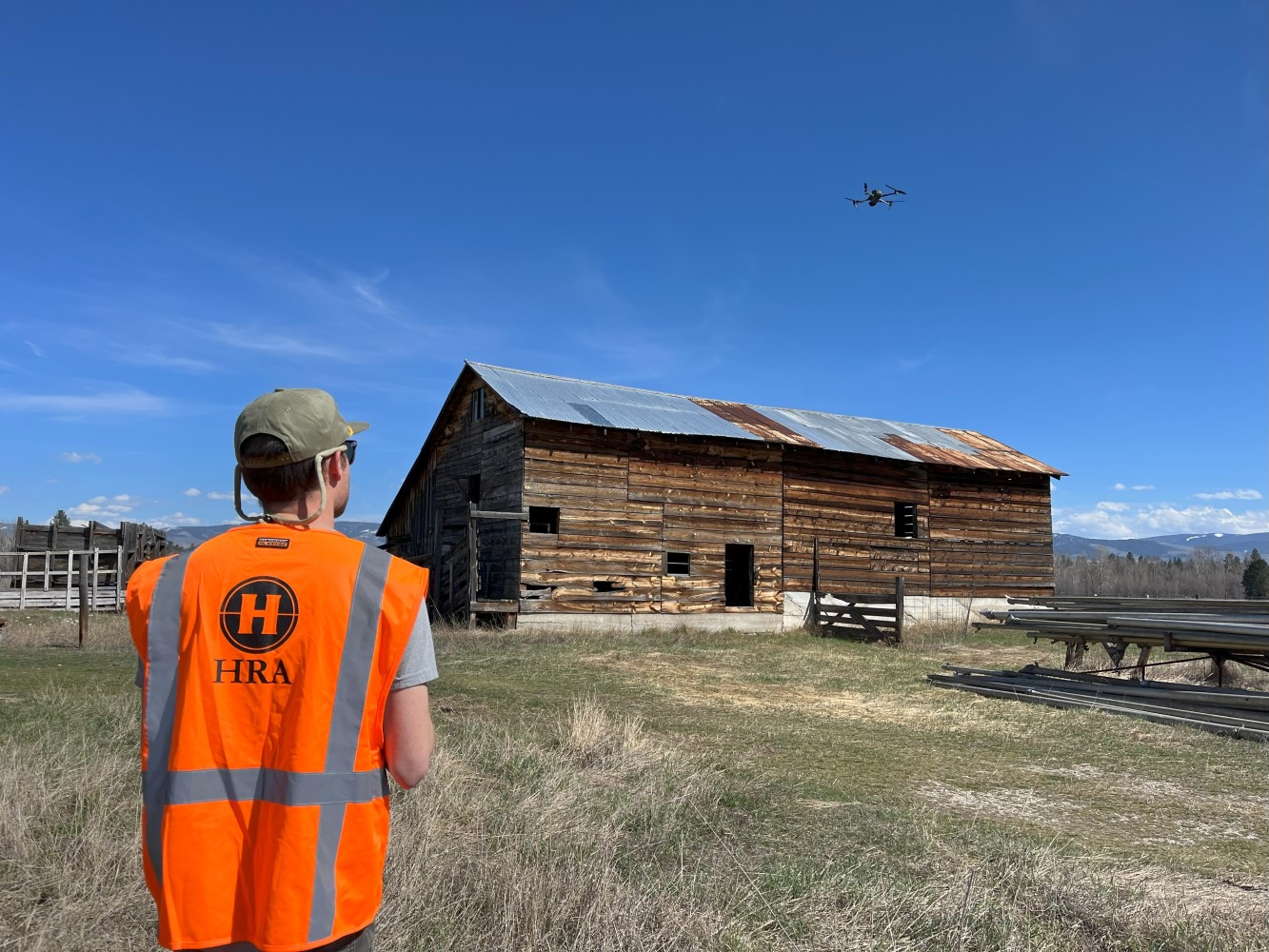
Unpiloted Aerial Vehicles (UAVs; drones)
UAVs are used to:
- Take bird’s eye photographs and video document resources, landscapes, or other features; and
- Collect LiDAR and photogrammetry to detect subtle archaeological and landscape features and create terrain landscape models in 2D and 3D environments.
- Quickly and efficiently map archaeological sites and other resources
GIS/Cartography
HRA uses ArcGIS Online for Organizations to collect, store, and share data in near real-time or off-line field project environments following trusted and certified security standards set by ESRI and federal cloud-computing security certifications. Our data-collection systems, combined with the latest-generation software, allow the integrated use of project GIS layers and data types including base maps, high-resolution imagery, engineering data, shapefiles, historic-period maps, and other archaeological spatial data. Through GIS, we conduct spatial research, design and manage geodatabases, provide modeling, and produce professional cartographic products.

