GIS/Cartography
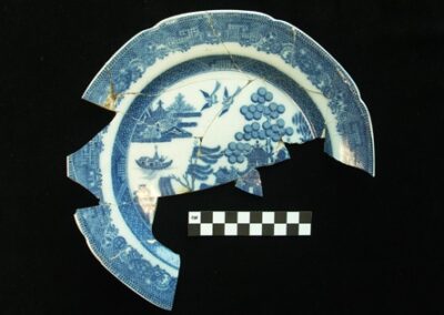
HRA is dedicated to the use of technology in advancing the accuracy and efficiency of Historical Consulting and Cultural Resources Management.
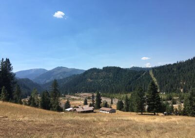
Integrated GPS and GIS software on field equipment facilitates highly accurate property maps displaying individual features and artifacts, which can be reconciled with project engineering plans and other digital data.
HRA uses the latest version of Esri’s ArcGIS software as our GIS mapping software to produce:
- Project feature shapefiles for use in field GPS units
- Daily survey completion data for clients
- Georeferenced historical maps
- Aerial photography, LIDAR, topographic maps, and other survey aids
- Shapefiles of cultural site boundaries
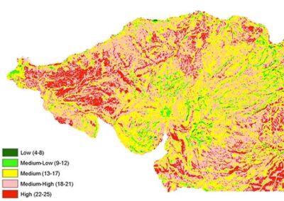
- Archaeological predictive modeling